Two generations of South West Water operatives reflect on what it really means to work underground and how the job has changed beyond recognition.
On a wet day in the South West, some of the most important work protecting rivers and seas happens where nobody can see it. Underground.
Beneath roads, footpaths and fields is a vast, hidden network of pipes, chambers and pumping stations. When it works, it goes unnoticed. When it doesn’t, the consequences can be serious.
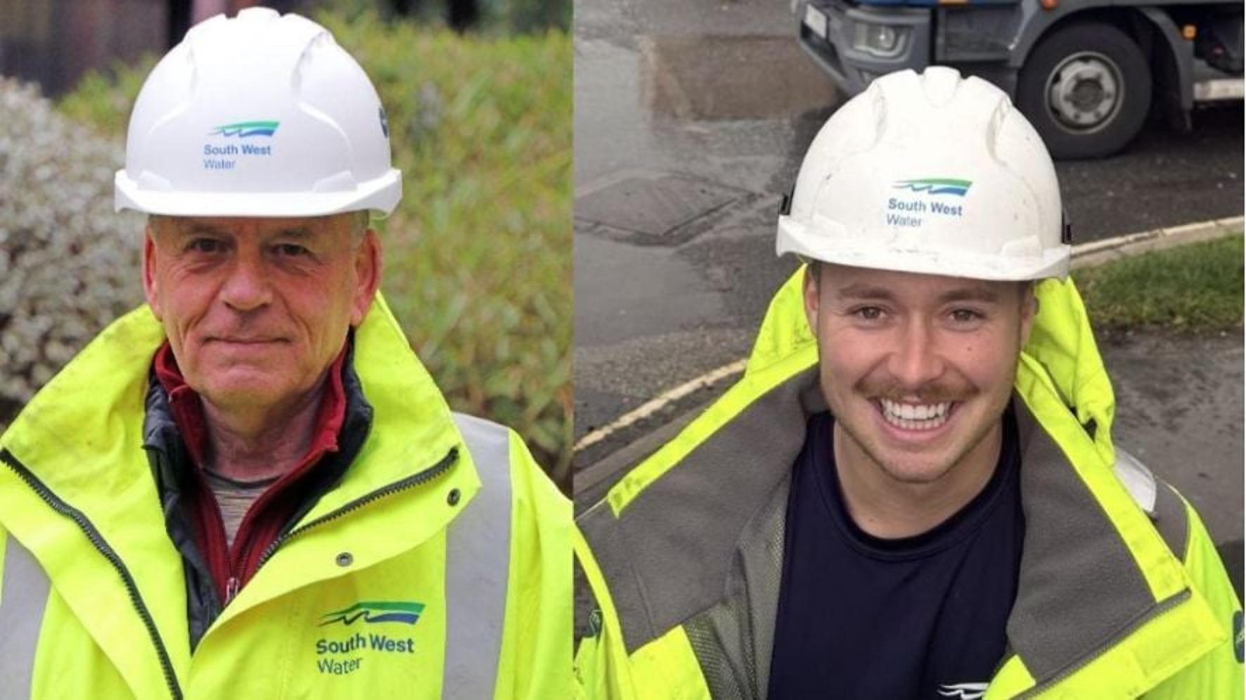
For Pete Turney, who spent more than 40 years working across sewerage, drainage and wastewater treatment before retiring, the job relied on instinct, experience and making judgement calls with limited information.
For Lewis Salter, part of a new generation of wastewater operatives at South West Water, the same job now starts with cameras, tablets and 3D images that show what’s happening below ground.
They never worked side by side. But, put their experiences together, and the contrast tells the story of how the job - and the risks that come with it - have changed.
“You looked, you judged, and you hoped you were right”
Pete joined the industry in the early 1970s, just after responsibility for sewerage and drainage transferred from local councils.
“The network was in desperate need of modernisation,” he said. “And there was basically no technology. None.”
Communication with teams in the field relied on unreliable radios. Maps were outdated. Many jobs were physical, labour-intensive and slow.
“If we had a blockage or a burst, you’d have teams of us walking across muddy fields in all weathers, looking for signs of a spill. Sometimes you didn’t even know exactly where the sewer was meant to be.”
If the records didn’t show it clearly, the only option was to dig.
“We’d excavate trial holes with a digger just to try and locate the pipe.”
Sewage pumping stations - often underground because of odour and gases like methane and hydrogen sulphide - were inspected manually.
“That meant climbing down rusty ladder rungs with a torch,” Pete said. “You lifted a cover, had a look, and made a call based on what you could see. And half the time, what mattered was what you couldn’t see.”
Confined space entry was common, but never simple.
“It needed planning, permits, the right PPE, breathing apparatus, gas monitors. And even then, you were still guessing until you were down there.”
He pauses when he talks about it now.
“Putting people into tanks or sewers always carries risk. Any technology that takes some of that away and that’s a good thing.”
“I can’t imagine working any other way”
Lewis entered the industry in a very different world.
“I honestly can’t imagine doing this job without the tech,” he said. “It must have been tough.”
Instead of torches and guesswork, Lewis uses high-resolution 360-degree cameras lowered into chambers, sometimes more than 15 metres deep, supported by powerful lighting. Drones capture the layout above ground.
“The camera takes images every metre. Walls, joints, fittings, stuff you’d never spot from the surface.”
The footage is processed into detailed 3D visual models that can be viewed remotely.
“Someone in the office can see exactly what I’m seeing, without standing over a manhole. That changes how decisions get made.”
“You think manholes are all the same. They’re not. Every one’s different. Now we’ve got the detail to plan properly first time.”
Less guesswork, fewer surprises
Both men agree the biggest change is certainty.
“You used to look and guess,” Pete said. “Now they know.”
That matters because small, unseen issues underground like damaged screens, tangled sensors, broken or missing equipment can escalate quickly during heavy rainfall.
Finding problems earlier means repairs can be planned before they turn into spills, emergency call-outs or last-minute road closures.
“And no one likes roadworks,” Pete added. “I remember the angry faces going past in cars.”
Lewis agrees.
“If you don’t need repeated site visits, you don’t need the road shut three times,” he said. “You go in once, with a plan. I like to know we are spending our budgets carefully because customers – and I’m one of those too - deserve that.”
Fewer road closures means less cost. In the trial area, around 30% of South West Water’s storm overflow sites are in areas which need traffic management. However, this new way of working could reduce this significantly to around 3%. Traffic management is costly so the technology means budgets for repairs and improvements can be spent wisely.
Seeing it before it spills
That clearer view is already helping teams spot problems that would once have stayed hidden.
At Goslings Bridge storm overflow in Lyme Regis, 360-degree camera surveys identified a break in a screen deep inside the chamber - not visible from the surface, but enough to mean the overflow was no longer working as it should.
Instead of sending people into a confined space to investigate, engineers were able to diagnose the issue remotely, understand exactly what needed fixing and plan repairs safely and efficiently.
A job that’s changed but experience still matters
For Pete, seeing how the job is now done is reassuring.
“The tools are different,” he said. “But the responsibility’s the same. A camera can show you what’s there but judgement comes from doing the job and today’s operatives have the benefit of the technology, guided by people who understand the network”.
Lewis stresses that instinct and experience are still essential.
“The kit makes things safer and more efficient, but you still need to know what you’re dealing with. The experience that people like Pete have built over the years really matters. It’s still hands-on, you still get wet, you’re still standing in sewage, to be honest. The difference now is the data takes away the guessing, the danger and the darkness.”
Notes to editors
- South West Water is trialling high-resolution 3D reality capture to inspect wastewater assets including storm overflows, pumping stations and sewer chambers, particularly in hard-to-access locations.
- The technology is provided by Trace Intercept and uses 360-degree cameras, specialist lighting and drones to capture detailed visual data above and below ground. Drones are used to not only capture asset images but to help locate assets where their location isn’t clear or the terrain is too dangerous to access.
- Cameras are lowered into chambers - sometimes more than 15 metres deep - capturing images at regular intervals. The footage is processed into immersive 3D models that can be viewed remotely on tablets, laptops or phones.
- The models allow engineers and asset managers to assess condition, layout and constraints without repeated site visits or immediate confined-space entry.
- The approach helps identify issues such as damaged screens, tangled sensors or missing equipment earlier than a human alone might spot it, supporting proactive maintenance and spill prevention.
- Improved visibility reduces the need for repeat surveys, extensive traffic management and prolonged road closures, helping limit costs and disruption to local communities.
- Digital surveys carried out by internal teams cost significantly less than traditional external underground surveys, which often require specialist contractors and traffic control.
- The trial supports South West Water’s wider programme to improve wastewater performance, staff safety and evidence-based investment across its network.