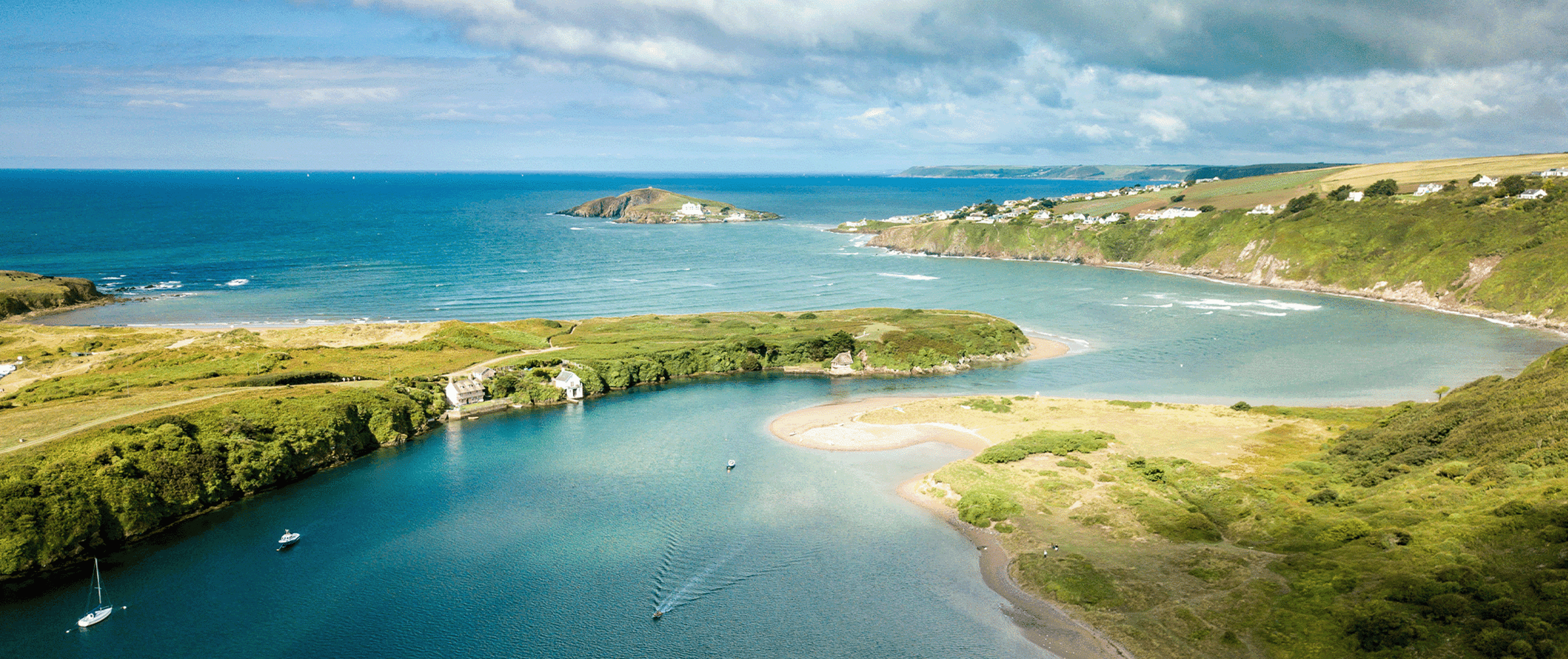
Bantham
Situated at the mouth of the River Avon, Bantham beach looks out over Bigbury and Burgh Island. Backed by sand dunes and the rolling hills of the South Hams, Bantham has little trouble fitting in with the South Devon Area of Outstanding Natural Beauty.
Bantham is an ideal family beach with a wide expanse of shallow sloping sands, rock pools and plenty of facilities including a pub and cafe. There is also a seasonal lifeguard service making this a safer option.
Bantham also has a reputation as one of the best surfing beaches in South Devon. Admittedly, there aren’t too many surf spots around but in the right conditions Bantham can be great. If you fancy giving surfing a try the Bantham Surfing Academy is a good place to start.
Overflow locations
The map below shows the locations of the storm overflows that have the potential to impact water quality at this bathing water.
The map shows whether or not a storm overflow is currently active, the time and duration of the last spill at that location, and our investment commitments that are specific to that overflow.
Bantham storm overflow map
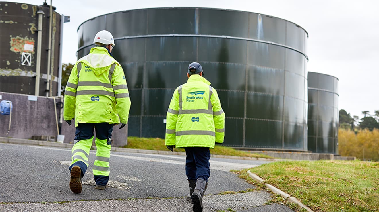
Water quality sample results
The graphs below show the significant reduction in harmful bacteria in the Environment Agency’s (EA) water samples since the 1990s. E. coli and Intestinal Enterococci exist in all open water - they are found in human and animal poo, and get into the water via sewage spills, road drainage, agricultural livestock, or wildlife and birds. The EA uses the levels of these bacteria to decide whether to award this beach bathing water status.
5 year overflow spill information
The data shown in the table below is the reported annual total spill number for each overflow which has been identified by the EA and/or is within 1km of hydrological continuity of this bathing water.
The assignment of an overflow to the bathing water does not always mean an impact will occur, it can be dependent on a number of factors such as tidal state and weather conditions. Sometimes it has been allocated just for investigation purposes and has no impact at all.
All data collected goes through vigorous quality assurance processes before being included in the counts. Sometimes debris can trigger false spills to be recorded, resulting in potentially higher than actual spill numbers.
Number of spills
| 2025 | 2024 | 2023 | 2022 | 2021 | |
|---|---|---|---|---|---|
| Aveton Gifford pumping station overflow | N/A | N/A | 1 | 0 | 1 |
| Aveton Gifford sewage treatment works settled storm overflow | 4 | 12 | 9 | 0 | 7 |
Water-based events

The beach profiles were created in line with information provided by our partners, Environment Agency, RNLI, Keep Britain Tidy, MCS - Beach Guide and British Beaches.