Lostwithiel
Lostwithiel stands at the head of the estuary of the River Fowey. It is a popular wild swimming spot, especially during the summer months.
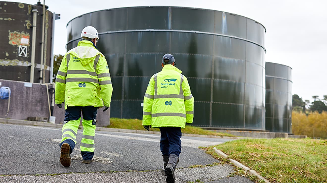
The site has been newly designated as a bathing water as of 15th May 2026, meaning water quality will now be formally monitored by the Environment Agency during the bathing water season.
AWAITING LINK
Overflow locations
The map below shows the locations of the storm overflows that have the potential to impact water quality at this bathing water.
The map shows whether or not a storm overflow is currently active, the time and duration of the last spill at that location, and our investment commitments that are specific to that overflow.
Lostwithiel storm overflow map
5 year overflow spill information
The data shown in the table below is the reported total spill number for each overflow which has been identified by the EA for this bathing water.
The assignment of an overflow to the bathing water does not always mean an impact will occur, it can be dependent on a number of factors such as tidal state and weather conditions. Sometimes it has been allocated just for investigation purposes and has no impact at all.
All the data collected goes through vigorous quality assurance processes before being included in the counts. Sometimes debris can trigger false spills to be recorded, resulting in potentially higher than actual spill numbers.
Number of spills
| 2025 | 2024 | 2023 | 2022 | 2021 | |
|---|---|---|---|---|---|
| Coulsons Park pumping station overflow, Lostwithiel | 78 | 126 | 123 | 73 | 115 |