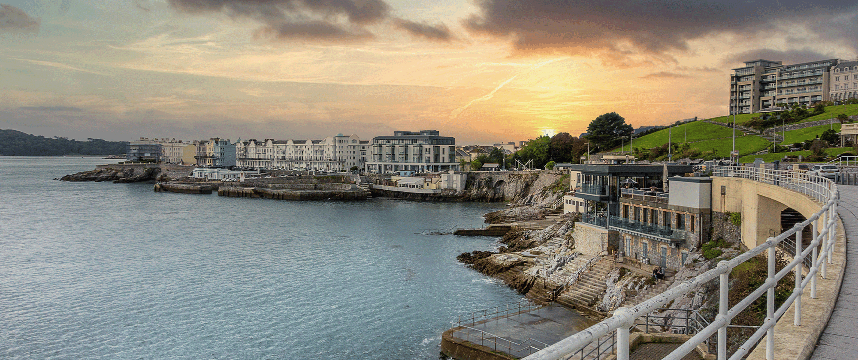
Plymouth Hoe West
A shingle beach backed by a promenade in the city of Plymouth.
There are shops, a cafe, a pool and toilets right by the beach.
Overflow locations
The map below shows the locations of the storm overflows that have the potential to impact water quality at this bathing water.
The map shows whether or not a storm overflow is currently active, the time and duration of the last spill at that location, and our investment commitments that are specific to that overflow.
Plymouth Hoe West storm overflow map
Water quality sample results
The graphs below show the significant reduction in harmful bacteria in the Environment Agency’s (EA) water samples since the 1990s. E. coli and Intestinal Enterococci exist in all open water - they are found in human and animal poo, and get into the water via sewage spills, road drainage, agricultural livestock, or wildlife and birds. The EA uses the levels of these bacteria to decide whether to award this beach bathing water status.
This bathing water is part of our enhanced bathing water quality monitoring trial programme.
5 year overflow spill information
The data shown in the table below is the reported annual total spill number for each overflow which has been identified by the EA for this bathing water.
The assignment of an overflow to the bathing water does not always mean an impact will occur, it can be dependent on a number of factors such as tidal state and weather conditions. Sometimes it has been allocated just for investigation purposes and has no impact at all.
All data collected goes through vigorous quality assurance processes before being included in the counts. Sometimes debris can trigger false spills to be recorded, resulting in potentially higher than actual spill numbers.
Number of spills
| 2025 | 2024 | 2023 | 2022 | 2021 | |
|---|---|---|---|---|---|
| Cambridge Lane storm overflow, Plymouth | 76 | 91 | 88 | 53 | 57 |
| Dark Street Lane Tank storm overflow, Plympton | 29 | 30 | 28 | 30 | 26 |
| Eastern Kings pumping station overflow, Plymouth | 47 | 42 | 52 | 22 | 34 |
| Hooe Lake pumping station overflow, Plymstock | 6 | 2 | 3 | 2 | 5 |
| Lipson Vale 1 storm overflow, Plymouth | 95 | 101 | 102 | 85 | 91 |
| Lipson Vale 2 storm overflow, Plymouth | 52 | 59 | 68 | 40 | 5 |
| Marine Road No1 pumping station overflow, Plymstock | 8 | 19 | 12 | 10 | 3 |
| Marsh Mills pumping station overflow, Plympton | 0 | 0 | 0 | 0 | 0 |
| Millbay Storage Tank storm overflow, Plymouth | 12 | 10 | 11 | 8 | 1 |
| Oreston Quay pumping station overflow, Plymouth | 15 | 28 | 49 | 21 | 25 |
| 31A Pike Road storm overflow, Plymouth | 87 | 83 | 91 | 94 | 102 |
| Seymour Avenue/Beaumont Road storm overflow, Plymouth | 28 | 16 | 22 | 18 | 11 |
| West Hoe Tunnel pumping station overflow, Plymouth | 4 | 4 | 4 | 5 | 7 |
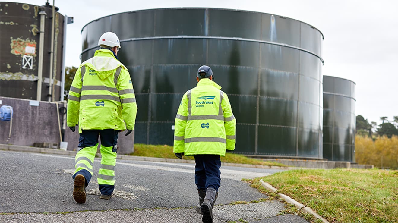
More about what we're doing
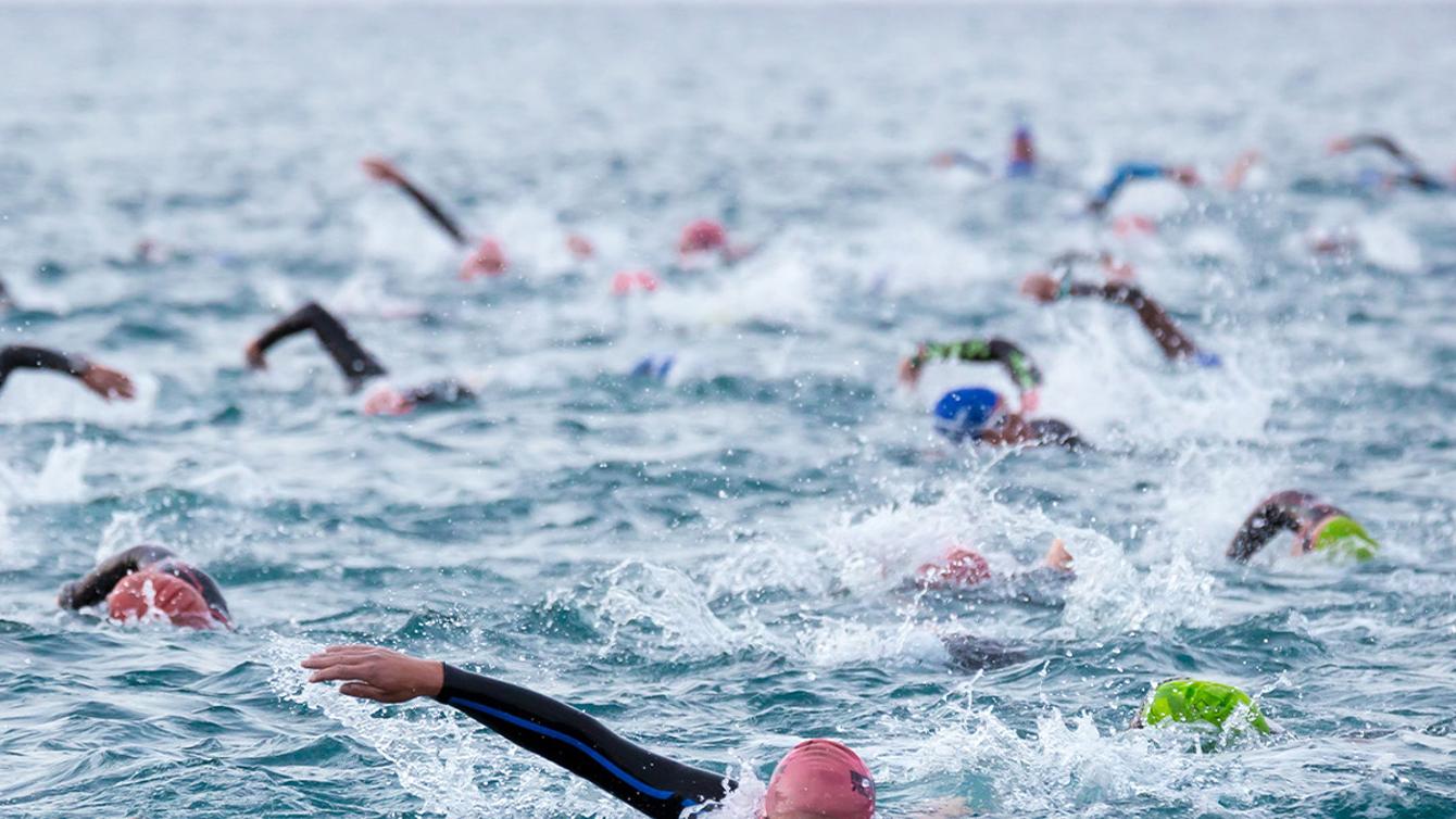
Water-based events
The beach profiles were created in line with information provided by our partners, Environment Agency, RNLI, Keep Britain Tidy, MCS - Beach Guide and British Beaches.